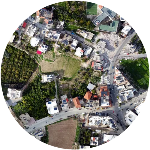
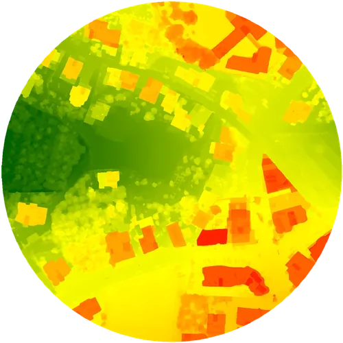
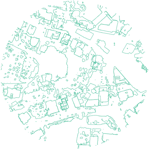
Every project starts with the same drone in the air — what changes is the deliverable.
Orthophotos, elevation models, and CAD-ready contours — survey-grade, GCP-verified.
VIEW SURVEYS →Photogrammetry-based models of buildings, interiors, and sites — for planning or pre-sales.
VIEW MODELS →Cinematic aerial footage for listings, developments, and construction milestones.
VIEW VIDEO →Interactive indoor walkthroughs that let buyers explore a property before visiting.
VIEW TOURS →Listings with a tour or aerial video hold attention longer and cut down on people showing up to a property that isn't right for them.
RTK + independently checked ground control points — our surveys hold up in CAD and planning software, not just on screen.
Based in Sidon, covering Beirut, Sidon, Tyre, and the Bekaa, with 2–4 day turnaround and pricing built for the local market.
Filter by type to see tours, models, footage, and survey data from recent work across Beirut, Sidon, Tyre, and the Bekaa.
Full-site photogrammetry model of the historic sea castle, web-embed ready.
View Model ↗Aerial photogrammetry model of the Umayyad ruins, web-embed ready.
View Model ↗Exterior photogrammetry model of a private villa, web-embed ready.
View Model ↗Aerial photogrammetry model of the historic ruins, web-embed ready.
View Model ↗RTK-checkpointed orthophoto, DSM and CAD-ready contours, for design and grading work.
View Data ↗RTK-based topographic survey with orthophoto, DSM and CAD-ready contours.
View Data ↗Send us the location and what you need — we'll confirm scope and price before we fly.
It depends on property size or site area. Indoor tours typically start around $100, aerial surveys around $150. Send us the details and we'll confirm an exact price before booking.
Most projects are delivered within 2–4 days of the shoot. Rush turnaround is available for an additional fee if you need it sooner.
Not necessarily — for exterior surveys and drone footage we often just need site access. For indoor tours, someone should be available to let us in and walk us through what to capture.
Yes — we fly RTK-corrected and back it up with independently measured ground control points, giving 1–3cm accuracy suitable for real planning and design decisions, not just visualization.
We're based in Sidon and cover Beirut, Sidon, Tyre, and the Bekaa. Contact us if your site is elsewhere.